"Meteor-M" #1 Spacecraft
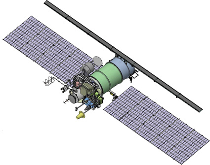
| Destination | Global observation og the Earth atmosphere and surface |
| Launch date | 17.09.2009 |
| Mission duration | 2009-2014 |
| Onboard instruments developed at the Optico-physical department |
Coordinate and Clock Referencing System (KKVO) including:
|
| Comments |
Approximately ~36.000.000 sq. km, mainly on the Russia's territory are imaged using KMSS. Imaging goal – ecology monitoring. Data is received, stored and distributed by the Research Center for Earth Operative Monitoring (www.ntsomz.ru) and the Scientific Research Center of Space Hydrometeorology "Planeta" (http://planet.iitp.ru) Imagery coordinate referencing is made using KKVO data. The software for processing raw data acquired from KMSS and KKVO is developed at the Optico-physical department |